Event Information
Details on this page:
More Event Info:
Start/Finish Locations and Parking
- Start Line: 300m north of the community centre on Park Road
- Finish Line: Mission Point Park, Davis Bay (Sechelt)
There is plenty of free parking at the Gibsons Community Centre at the start, both in the Centre's parking lots and along Park Road beside the playing fields.
Parking at the finish: a number of free spots at the Davis Bay Beach parking lot, just around the corner from the finish line. There's also a small lot at Brookman Park across the highway from Mission Point Park.
Parking in Horseshoe Bay
There are two options: 1) BC Ferries provides paid parking at the terminal. View details and rates at on the BC Ferries website. 2) A 900m / 10 minute walk away, for about half the cost, is the Ambleside Tiddlycove Lions Club parking lot. For either choice, save $ by carpooling. Also note, the #257 and #250 buses go from downtown Vancouver right to the terminal, so you may be able to avoid paying for parking altogether.
Medals & Prizes
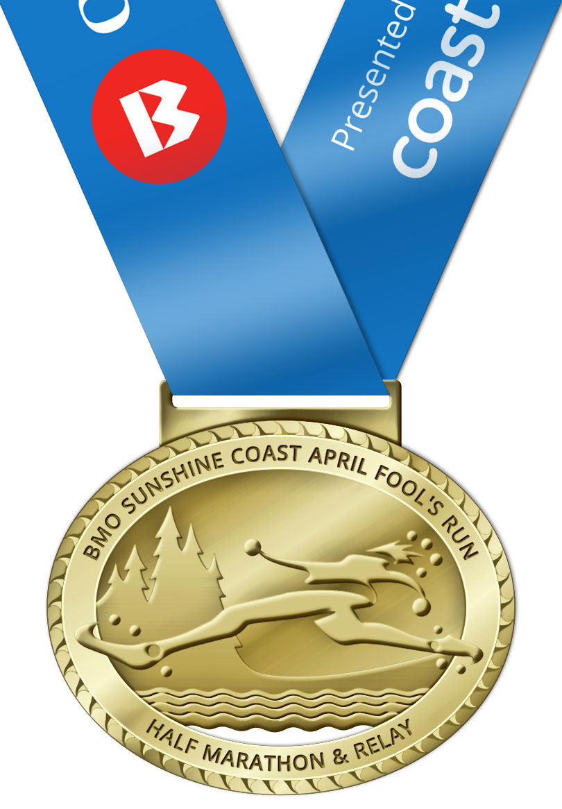
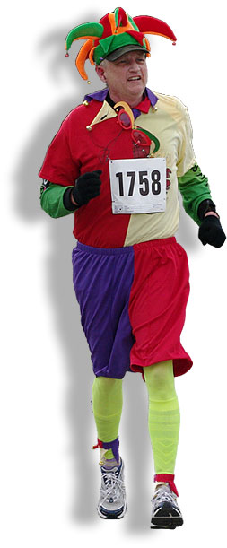
A high-quality, commemorative April Fool's Run Finisher's Medal will be given to each individual and relay team (each team member receives a medal) completing the Half Marathon. Antique Gold with printed neck ribbon. Click image at left for detail view of the medal from 2018.

Personalize your finisher's medal with our insert option!
For just $7.50 you can get a personalized insert for your medal with your name and official finishing time laser-engraved — fits neatly into a frame on the back! Order when registering or, if already registered, via our extras order page, and it will be mailed out 3-4 weeks after the race. Order deadline 1 week after race day. Comes with a self-adhesive backing. Click image to enlarge.
Weather
Weather on the Sunshine Coast in April is variable but moderate. In recent years, race morning has ranged from a crisp dry 5-7°C to a balmy 16°C with sunshine, to a typical west coast 10°C and rain. In 2012 we woke up to snow and finished in mild sunshine! The odds of dry conditions are good — it rained on the race only three times in the past 13 years.
Your best bet is to come prepared for a range of conditions and check the local forecast (see below) as close to start time as possible. And note, in spring Sechelt is often warmer than Gibsons by a few degrees, with less precipitation (further from the North Shore mountains).
If you can't view the above weather badges, use the following direct links from Environment Canada: 7-day forecast for Gibsons; 7-day forecast for Sechelt
"Thank you for making my inaugural April Fool's Run so much fun! This was the most well-organized run I have ever participated in!" — Judy Westacott, Vancouver